
Pacific Coast Highway: LA to San Francisco (Big Sur Route)
Pacific Coast Highway: LA to San Francisco (Big Sur Route)
Trip Snapshot: ~450 miles one-way; plan 2–4 days with scenic stops. Best time is April–October for sunnier coastal days (winter can bring fog/closures). Ideal for families, photographers, and cliff-hugging view chasers. Route: LAX → US‑101 to Santa Barbara → US‑101 to San Luis Obispo → CA‑1 through Big Sur → Monterey/Carmel → Santa Cruz → San Francisco. Top 3 highlights: Old Mission Santa Barbara • Bixby Bridge & McWay Falls • Monterey Bay Aquarium.
Reserve your ride → Los Angeles Airport → Rent the Perfect Vehicle
Bixby Bridge arch spans a canyon above turquoise Pacific waters in Big Sur.
Route Overview: Ease north from LAX on US‑101 for beach towns and Spanish-style architecture, then shift to Highway 1 for the famed Big Sur cliffs. This is a slow, winding coastal drive; embrace it. Check closures before you commit: Highway 1 south of Big Sur has had long-term slide closures and rolling reopenings (as of summer 2025, a 6.8-mile segment remains closed for repairs); always verify conditions via Caltrans QuickMap and local alerts, and detour via US‑101 if needed. Bay Area bridges (including Golden Gate) are cashless tolling; pay via FasTrak, License Plate Account, or One‑Time Payment.
Top Stops & Experiences:
- Old Mission Santa Barbara Family-friendly. Rose gardens, ocean views, and a gentle history break right off US‑101. Park at the Mission’s free lot and stroll the grounds for classic photos.
- Hearst Castle, San Simeon Family-friendly. Newspaper tycoon opulence with wow-factor pools. Book a tour; buses depart from the visitor center. (Reserve in advance the Neptune Pool and Roman Pool are as striking as the mansion itself.)
- Bixby Bridge, Big Sur Family-friendly. The poster child of Highway 1. Use the signed turnouts for photos (north-end pullout is safest) and keep kids back from the guardrails—cliffside breezes are strong year-round.
- McWay Falls (Julia Pfeiffer Burns SP) Family-friendly. An 80-foot ribbon of water tumbling onto a hidden beach; the overlook trail is short and stunning. (No beach access—enjoy the view and snap photos of this unbelievably picturesque waterfall.)
- Pfeiffer Beach (Los Padres NF) Family-friendly. Purple-tinted sands and the famous keyhole rock at sunset. Narrow Sycamore Canyon Road leads here; expect limited parking (65 spots) that fills up on weekends. Tip: No RVs or pedestrians allowed on this road.
- Monterey Bay Aquarium Family-friendly. Sea otters, jellies, and hands-on kid exhibits. Definitely reserve tickets ahead of time to ensure entry on busy days. Don’t miss the towering Kelp Forest tank or the touch pools it’s a hit with all ages.
- Carmel-by-the-Sea Family-friendly. Fairy-tale cottages, art galleries (nearly 100 in one square mile), and a glorious white-sand beach. Park once and wander this storybook village.
- Santa Cruz Beach Boardwalk Family-friendly. Classic seaside rides and arcade nostalgia. Purchase ride wristbands online to save up to $20 and skip ticket lines. (The Giant Dipper coaster and carousel are must-rides for thrill and history buffs alike.)
Where to Eat & Stay: Savor Santa Barbara taquerias on Milpas St., fish‑n‑chips in Morro Bay, and clam chowder in a sourdough bowl on Monterey’s Wharf. Cap it off with a Ghirardelli sundae as a victory lap in San Francisco. For lodging, consider boutique inns in Carmel or family motels near Monterey’s Cannery Row. Monterey and Seaside offer value options; Big Sur lodges often book months ahead (plan accordingly).
Detours & Extensions:
- Wine Tasting in Paso Robles (add 3–4 hrs): An easy loop off US‑101 to relax at family-friendly estates (with lawns for kids) and enjoy PG‑13 tastings (designate a driver).
- Point Lobos State Natural Reserve (add 2–3 hrs): Arguably some of the best short coastal hikes in California, with emerald coves and wildlife. Ideal for a quick nature walk if time allows.
- Muir Woods (add 2–3 hrs north of SF): Walk among ancient redwoods on gentle boardwalk trails. Note: Parking reservations are required, so book ahead.
Practical Tips: Big Sur’s rugged terrain means landslides are an ongoing risk check Caltrans QuickMap for road status. Bay Area bridge tolls are cashless set up FasTrak or a one-time payment before rolling into SF. Pack layers for microclimates; a sunny 75°F in LA can become a foggy 55°F at noon on the Central Coast (summer “Fogust” is real wear layers). Take advantage of turnouts to let faster cars pass and for safe photos; never stop in travel lanes on Highway 1. Enjoy the journey, not just the destination.
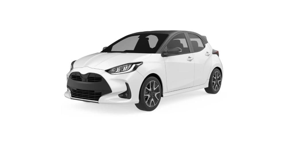
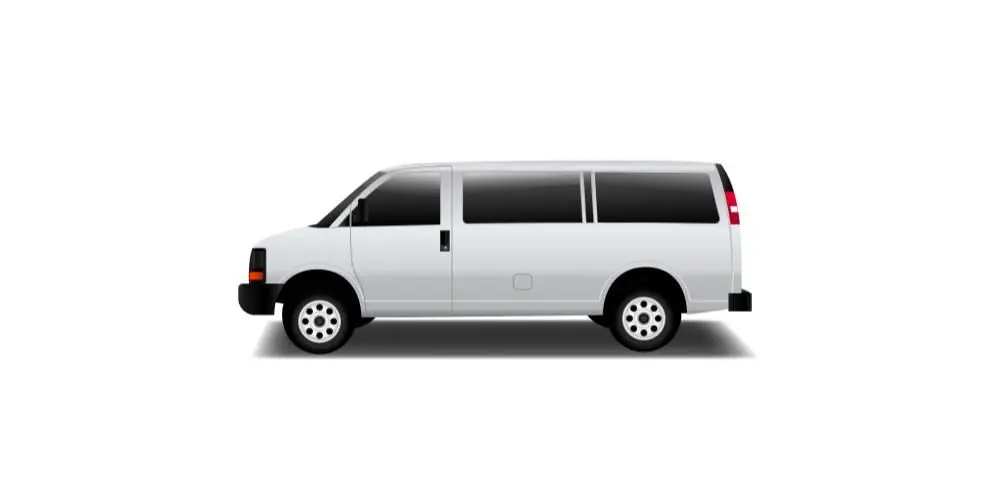
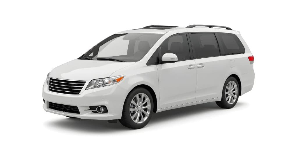
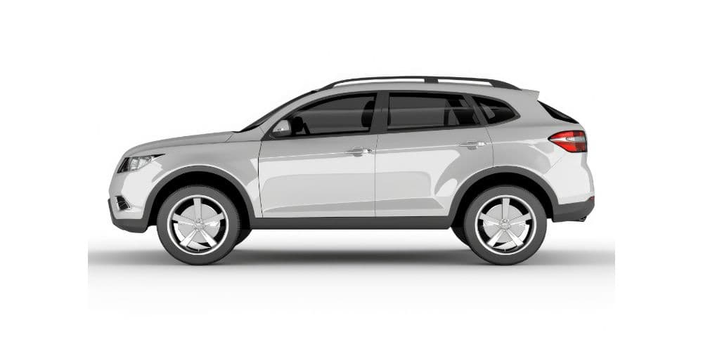
Rentals & Logistics: Bring a midsize SUV for comfort on cliff roads, plus room for luggage and picnic gear. Families might prefer a minivan for the extra space and sliding doors (handy for beach stops). Add a toll transponder option if you’ll cross Bay Area bridges to avoid post-trip invoices.
Reserve your ride → Los Angeles Airport → Rent the Perfect Vehicle
Our Most Popular Vehicles
Frequently Asked Questions
Sometimes not; parts of Highway 1 can close due to landslides. Always check Caltrans QuickMap for current conditions before you go.
Yes; all toll bridges use electronic tolling now. Set up FasTrak, a License Plate Account, or a One-Time Payment in advance to avoid mailed bills.
Point Lobos State Reserve offers easy coastal trails, and short overlooks like McWay Falls are perfect for little legs. (Strollers aren’t ideal on dirt paths, but the walks are brief.)